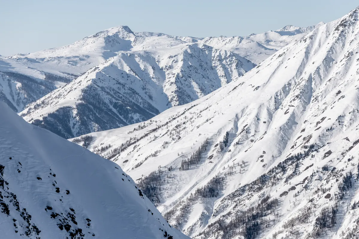
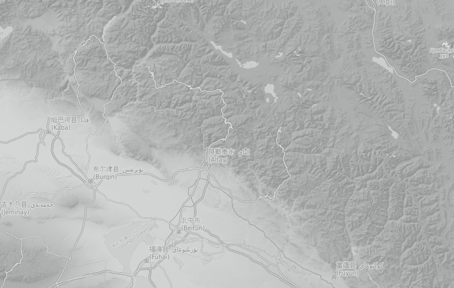
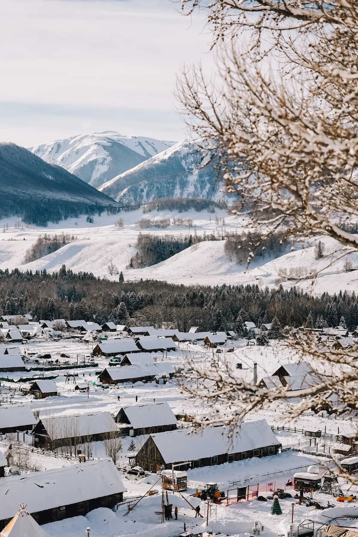
Hemu’s snow climate is best described as cold continental, defined by low temperatures, relatively infrequent storm cycles, and strong snow preservation. Winter temperatures commonly range between –10°C and –30°C from December through February, producing dry snowfall and slow snowpack settlement.
Storm cycles typically arrive every 2–4 weeks during midwinter, followed by extended periods of clear, stable weather. Unlike many mountain ranges that sit on exposed weather boundaries, Hemu lies within surrounding terrain that reduces wind exposure.
Early Season (late October – early December)
Hemu’s snow season starts earlier than at most resorts around the world, with the first snowfall in early October. Snow keeps well at higher elevations, and backcountry touring routes typically become viable in early November, one to two weeks before the resort opens.
The resort generally opens in mid-November, operating top-to-bottom (approximately 1,400 m to 2,800 m) from the start of the season. Early-season coverage is typically reliable, and snow quality is often at its best during this period, supported by cold temperatures and limited skier traffic.
Midwinter (December – February)
Midwinter storms are infrequent but bring useful amounts of snow, often followed by long, clear high-pressure periods. Low temperatures keep the snow dry. Even when temperatures reach –30°C, sunshine and a lack of wind can make it feel more comfortable than the thermometer suggests.
North-facing forests preserve soft snow well through these periods, while the south-facing resort slopes offer enjoyable piste runs.
Late Season (March)
Snowfall can continue into March, with occasional larger storms still reaching the region. Lower elevations gradually get wetter snow, while slopes above 2,100 m, around the gondola mid-station, often keep dry snow through mid-March. The resort’s south-facing slopes are usually affected first.
Longer days and milder temperatures leave more time for touring higher alpine terrain and north-facing forests.
The resort operates until approximately mid-April, typically April 15, depending on snow conditions. In good snow years, spring skiing stays enjoyable until the scheduled closing date. In the worst snow years, the resort has closed on April 1.
Understanding the snow
Three different snow measurements
Fresh snowfall is the depth of new snow over a stated period. Settled snow depth is what remains on the ground, including older layers that compact and melt over time. Precipitation reported as a water equivalent measures liquid water, including melted snow; a total can include rain too. These figures describe different things. A season’s accumulated snowfall is not the depth of its snow base, and there is no fixed conversion from water to snow depth.
Why the surface changes
Cold, dry spells can help shaded snow stay soft, while wind can scour exposed slopes and pack snow into firmer drifts nearby. Aspect, the direction a slope faces, changes its exposure to sun and wind. Spring sunshine can soften a refrozen surface through the day; overnight cooling may make it firm again. Two nearby slopes can therefore feel quite different under skis or a snowboard.
Powder and the layers underneath
Soft, dry powder describes the surface, not the stability of the snowpack. Strong temperature differences within cold snow can form angular, poorly bonded grains called facets. Buried weak layers can remain after a storm has passed. North-facing terrain and open forest can preserve weak layers as well as soft snow; trees or shelter alone do not establish a stable slope.
Background reading on snow processes: National Weather Service · Avalanche Canada · Avalanche.org · Colorado Avalanche Information Center